 |
 |
 |
 |
 |
 |
 |
 |
 |
 |
 |
 |
 |
 |
 |
 |
 |
 |
 |
 |
 |
 |
 |
 |
 |
 |
 |
 |
VEURNE to IEPER (Ypres) | HOME | |||
|---|---|---|---|---|
|
|
|
|
|
|
|
|
|
|
|
|
|
|
|
|
|
|
|
|
|
|
|
|
|
|
|
|
|
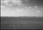
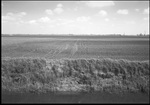
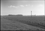
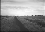
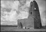
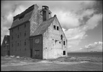
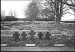
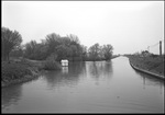
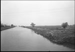
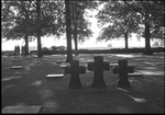
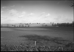
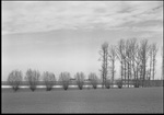
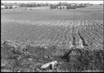
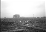
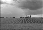
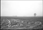
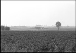
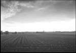
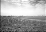
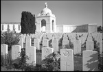
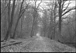
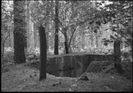
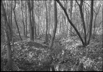
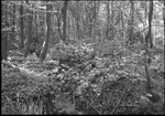
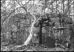
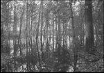
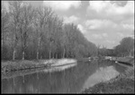
The landscape to the North of Ypres includes some of the areas of bitterest fighting in the First World War. From the flooded landscape around Diksmuide to the Passendale (Passchendaele) Ridge the area was under constant pressure throughout the war. At the northern end of the region is the flat landscape of De Moeren. This type of landscape seems to be most people's preconception of Belgium but is in fact restricted to the coastal region. It is reclaimed marshland which was drained in 1627 using windmills to pump out the water and dykes to maintain the drainage. Further south lies Knokkebrug on the Ijzer at the point where the canal to Ypres joins it from the southeast and the Ijzer swings to the North as it progresses towards the sea. The water here is fairly quiet apart from fishermen and walkers on the towpath. The village of Passendale, known to history as Passchendaele, lies on a low ridge to the northeast of Ypres which was sufficient to dominate the flat land to the north of Ypres. The ridge was occupied in 1914 by the Germans and finally retaken at the Third Battle of Ypres (Passchendaele) in 1917. The land was left a virtual swamp and the village destroyed. The village is now completely rebuilt and the field drainage restored but history does keep turning up in the form of unexploded shells. The soft ground meant that a large number of shells failed to explode and these continue to present a hazard to the local population. Not far from Passendale is Tyne Cot Cemetery, the largest British Commonwealth War Cemetery in the world with over 11,000 graves and panels listing the names of over 35,000 soldiers who have no known grave, many lying in the land gently sloping down to Ypres. Closer to Ypres lies the village of Zonnebeke and the nearby Polygon Wood. The wood was once a training area for the Belgian cavalry, the Polygon being a riding circuit in the centre of the wood. As elsewhere, the wood was flattened in the war but it is now a quiet wood used by walkers and joggers. Scattered in the undergrowth are the remains of a number of concrete bunkers, mostly shattered in the fighting. Parts of the wood are often flooded and a small stream, the Reutelbeek flows out of one corner. |